Walking In Oban
Walking In Oban
Obviously in an area such as this the walking potential is limitless and anyone planning to do a fair amount of walking would be best advised to invest in some of the many guide books specifically written for the area. These are available from the Oban Tourist Information on 01631 566606. There are books that cater for all lengths of walk, from half hour pre-teashop rambles to all day walks up the many mountains in the area.
The new website www.walkhighlands.co.uk features excellent walks around Scotland also in our area. Particularly useful if you are travelling around Scotland and are staying with us as part of an extended visit. We are also more than happy to give other walking recommendations according to your ability. We walk and climb ourselves, and we travel a lot around Scotland as well.
Our information folder in each cottage provides hand drawn maps and description of these walks. So don't worry about needing to print these out in advance.
Short Walks from Bonawe House
1 Inverawe Tea Room and Nature Trail (2 miles, mainly flat, can be muddy after heavy rain)
Leave by the back gate. Go along the farm track for 20 yards. Turn left and through the gate into the field. Head diagonally across to by the river, and walk east along the river, through 1 gate till you come to the suspension bridge. Cross the bridge and head straight up the field to the dark wooden building. At the top go through the gate on the right and up the steep little path. A lovely tearoom with delicatessen awaits you here, and an outdoor play area. From here the nature trails are signed as a circular walk. Return by the same route.
2 Loch Etive Pier (1 mile, along tracks and road and gravel beach)
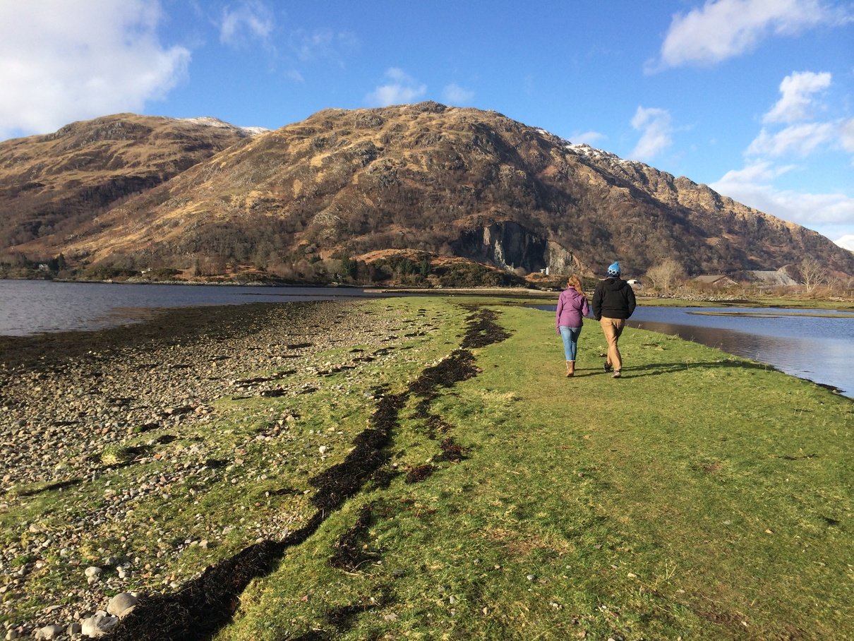
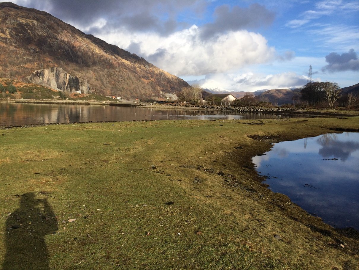
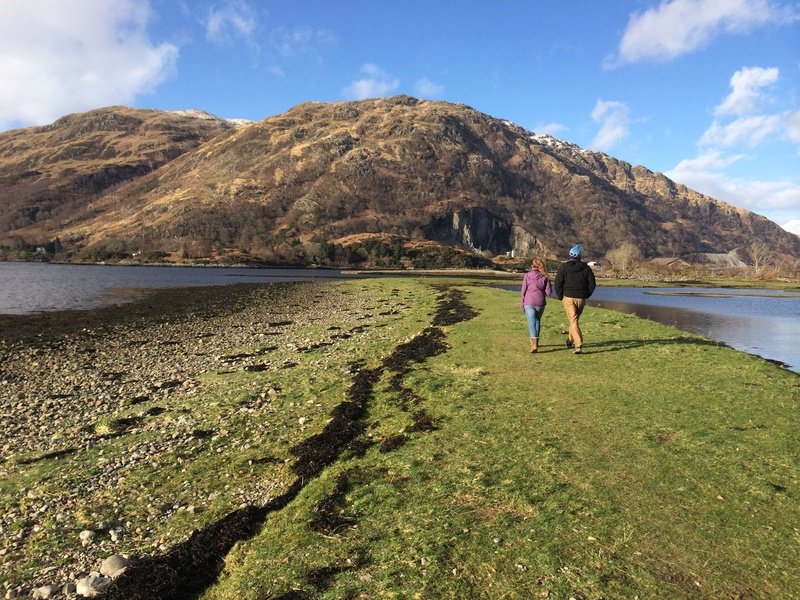
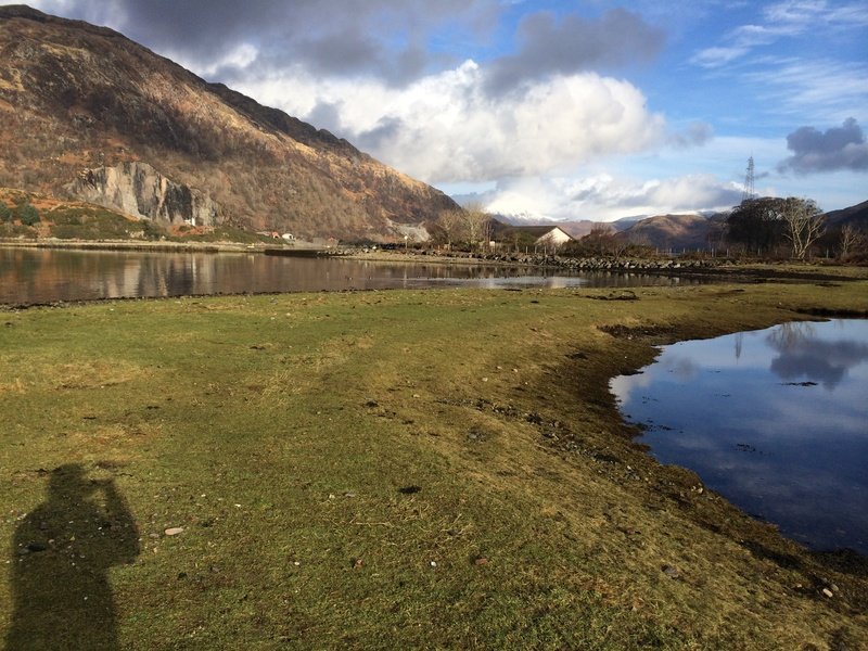
Leave by the front entrance, turn right down the first track after 50m. At the end of the track turn right onto the tarmac road. Kelly's Pier is 50 m down on your left. Further down the road is the main pier that the Loch Etive cruises leave from. The two piers can be connected along the beach and the 'machair'. Return by the same route.
3 Airds Bay (3 miles, along roads, golf course and a short stretch of track)
Head into the village from the house. After crossing the bridge over the river where the road narrows turn first right to a kissing gate that leads onto the golf course. Keep to the river edge and follow the 9th fairway back towards the tee. Take the path 30 yards before the tee, entering the trees by the river. This leads over a wooden bridge across a small stream, turn left immediately after the bridge. Follow this path until it becomes a track in front of two white cottages, continue along this until you come to the tarmac road. Turn right and follow this along the shore with wonderful views. The walk ends at the private sign by the two houses at the end of the road, about half a mile on. Return by the same route.
4 Bonawe Furnace Lade Walk (2 miles, flat, can be muddy after heavy rain)
Leave by the front entrance, turn right down the first track after 50m. 100m further down a path leaves on the right opposite a kissing gate that goes into Bonawe Furnace. Take this path. The path follows the side of the lade, across the front of Bonawe House for about a mile to its meeting with the river Awe. Cross the wooden bridge over the lade and follow the banks of the river through the field towards the suspension bridge. Turn right and head across the field to the gate near the back entrance to Bonawe House (where the tallest trees end).
5 Loch Etive Walk ( 3 miles, mainly flat, can be muddy after heavy rain)
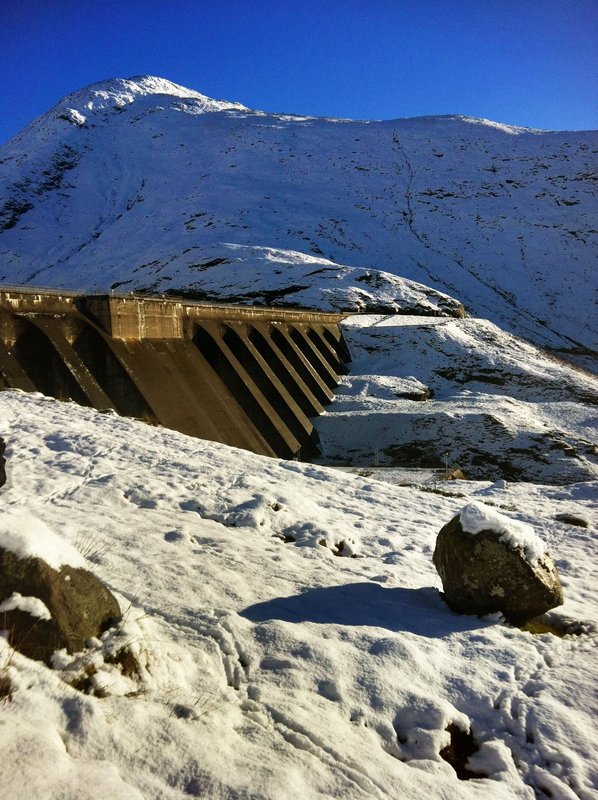
Leave by the back gate. Go along the farm track. Where the track bends to the right, go through the kissing gate ahead. Walk left down the hill and over the suspension bridge and turn left. Follow the path along the bank of the river until it meets the road by the side of the Hydro scheme. Turn left and go along the road up the hill. Take the left fork at the top of the hill onto an unmade track. Continue along this to the shore line and back round to the tarmac road again. Return by the same route, possibly via Inverawe tea rooms.
6 Loch Etive Viewpoint ( 3 miles, mainly flat, one short steep hill, can be muddy after heavy rain and boggy top section)
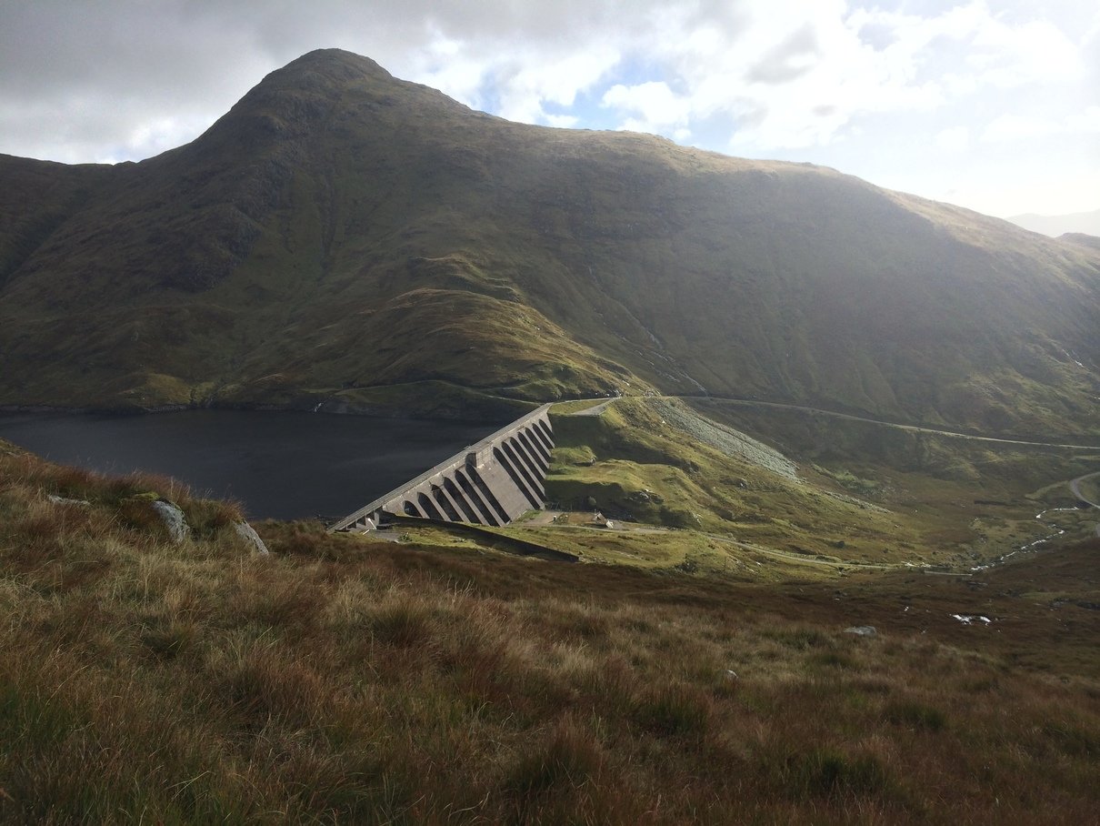
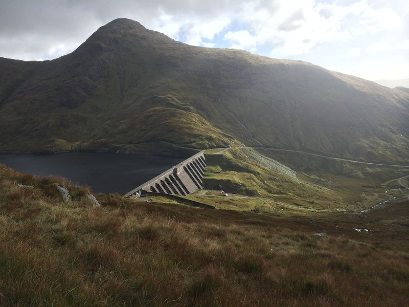
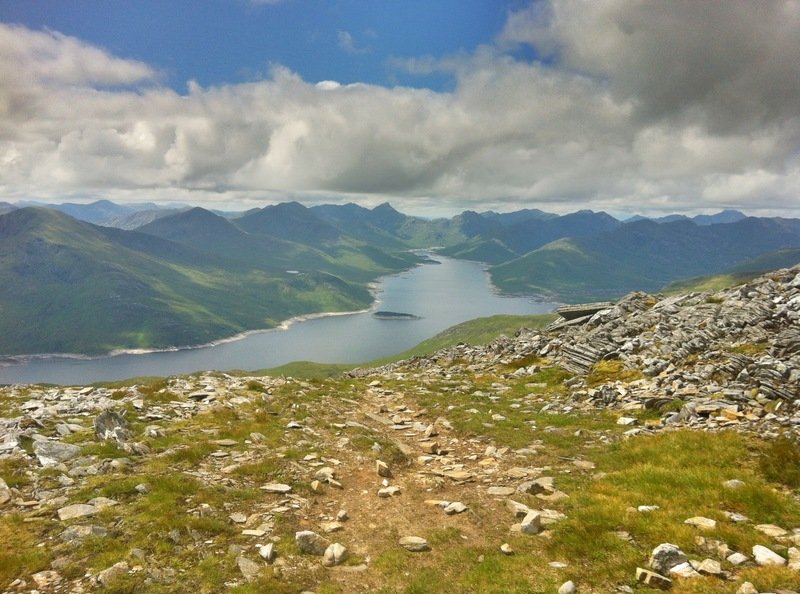
Leave by the back gate. . Go along the farm track. Where the track bends to the right, go through the kissing gate ahead. Walk left down the hill and over the suspension bridge and turn left. Follow the path along the bank of the river until it meets the road by the side of the Hydro scheme. Turn left onto the tarmac road. After 100 yards there is a gate to your right. Go through this gate and up the tarmac road (up hill) to the reservoir. Continue up the often muddy track to the hill top. Fantastic views both ways along Loch Etive, right into Glen Coe and out to Mull. Return by the same route.
Longer Walks from Bonawe House
1 River Awe Walk A fence has been put across this walk at the moment, which shouldn't be there.(5 miles, flat, can be muddy after heavy rain, difficult terrain just before Bridge of Awe)
Leave by the back gate. Go through gate on left into field, cross diagonally to the river bank. Turn right at the river bank and follow the river as far as the road bridge if desired. The path after crossing the railway bridge becomes awkward as someone is trying to stop this being used as a right of way, and only a few people will find their way through. Return either by the same route or cross the bridge at Bridge of Awe and return along the quiet road leading to Inverawe (signed at the bridge). Take the left fork where the sign is to 'private road. This brings you out along the front of Inverawe House. From Inverawe (tea shop stop available) follow the sign to the riverside walk, down the side of the smokery and back across the suspension bridge.
3 Up Loch Etive Towards Glen Coe (4 - 30 miles, flat, forest tracks)
Leave by the back gate. Go through gate on left into field, cross diagonally to the river bank. Go over suspension bridge and follow path up to Inverawe house. Turn left past the car park then right up road leading up the hill away from the car park. Follow this for 800m to a large forests track going up hill on the left. Take this track. Carry on along the main track ignoring a branch down to the right and a left turning (signed to Port na mine). After about a mile the track comes to the shore of Loch Etive and can be followed as far as you want, right up to the head of the Loch. Remember the return journey is by the same route.
3a Go up Glen Noe along the river (lovely picnic sites and paddling in the river). After crossing the river Noe, turn right through the yard of the house with the Turkish style shed. Head three miles up the valley, the upper reaches can be boggy. Over the pass, follow the track on the left side of the valley to Lochawe village, where you can take the train back to Taynuilt. Approximately 13 miles.
4 Ben Cruachan (15 miles, very hard, full mountain walking equipment suitable for the time of year is needed.)
Leave by the back gate. . Go along the farm track. Where the track bends to the right, go through the kissing gate ahead. Walk left down the hill and over the suspension bridge and follow path up to Inverawe house. Turn left past car park then right up road leading up the hill away from the car park. Follow this for 800m to a large forests track going up hill on the left. Take this track. Carry on along the main track ignoring a branch down to the right and a left turning. After about 2 miles the track comes to the shore of Loch Etive and leads to Glen Noe. Just before reaching Glen Noe strike up the hill side and follow the west ridge to the summit of first Taynuilt Peak and next Ben Cruachan. Sunset from the final summit on the descent is particularly impressive with views across the Hebrides (but you still have to get back in the dark!). This is a very long route, and the standard route up Ben Cruachan is much easier from Falls of Cruachan train station.
4a Possibly the best day and regarded as the best way to ascend Ben Cruachan in the SMC guides is to head up Glen Noe itself and take the north ridge of Ben Cruachan to the summit before descending the west ridge. This involves some steep and exposed terrain and some scrambling.
4b Walk from Bonawe House to Inverawe, then along the minor road towards Bridge of Awe. Take the left old military road from just left of a house, until you arrive just below the Taynuilt water works. Head left up to the works, cross the concrete bridge, and turn left up the hill. Very steep grass to begin with, then easing off to a gentle angle and up the pleasant rock slabs to the top of Taynuilt Peak (or skirt right avoiding Taynuilt Peak straight to the main summit).
4c Take the train to 'the falls of Cruachan' in the morning and traverse Ben Cruachan by the horseshoe, descending the west ridge to Loch Etive.
4d Take the train to Lochawe head back up the road a 3/4 mile and traverse Ben Cruachan from the Dalmally horseshoe, descending by the west ridge. Some scrambling involved. Absolutely superb.
5 Beinn Eunaich and Beinn a'Chochuill Take the train to Lochawe head back up the road a 3/4 mile and to Castles farm. Take the south ridge of Beinn Eunaich, steep at first, then on to Beinn a'Chochuill. The hard work is now done and you can enjoy the scenery on the long easy ridge down to Loch Etive (keep to the right side of the ridge for easiest going). Finally an hour along the loch on the main track brings you back to Bonawe House.
Walks in the Area
1 Ben Lora - 365 m high - 2 to 3 hours
Drive along the A85 towards Oban. Take the Fort William turn off at Connel over the bridge. The next village is Benderloch. Take the right turn exactly before the petrol station on the right side, taking you into the Forestry car park.
There are a few walks here through the forestry with several viewpoints, all indicated on the notice board at the car park.
The walk up Ben Lora goes through the forestry, over the style at the top and through the bogs and up to the summit. Best view to the islands. Return by same route.
2 Glen Nant
Out of Taynuilt village, turn left and within 500 meters take the road right to Kilchrennan. The Glen Nant walks start from the forestry car park about 4 miles along on the right hand side. The three walks are described on the noticeboard, and vary in length from 10 minutes (flat and suitable for disabled) to an hour. The terrain is through indigenous mixed woodland along bubbling burns, but quite hilly in places. Typical of the forestry at the time Bonawe Furnace was in operation.
3 Port Appin
Drive to the village of Port Appin (about 10 miles north of Oban) and park near the Pierhouse Hotel (serves good food, fish dishes and vegetarian of generous portions). Walk left before the Pierhouse hotel, up the small track signed as a walking route. Go along here along the coastal headland, and follow the signed path back to the minor road leading back to the Pierhouse. About 45-60 minutes.
An extension is to follow the road back towards Appin village, and turn left off the road along the shore edge where the inlet meets the road. You need to stick to the right side of the fence, and pick your way along the tideline. It is easier at low tide, but can be quite muddy and wet. Continue round this headland with spectacular views of Castle Storker. The beach back to Port Appin is quite stony, and awkward at times, but a lovely stroll back to the centre. About 2 hours.
4 Fearnoch
Drive from Taynuilt, right onto the A85. After 3 miles, the road goes up a long hill, with a turn off at the top signed to Fearnoch, and a forestry track about 100 yards below. Turn into this forestry track, and park at the obvious car park. There are several tracks through the forests here, that can also be cycled, and can take you all the way to the Glen Lonan road.
5 Inveraray Estate
There are walks of several lengths around the Estate and village. The Tourist Information has a map, and there is also a map in our folder in the reception.
6 Kerrera Island
A favourite with us. See also the tea room section
We can recommend many walks on the islands that are accessible from us for daytrips, and also more serious walks up the Munros (mountains higher than 3000 ft, 914 m). Please feel free to ask.
Quick Book
Searching Availability...


